一条蜿蜒穿过开满蓝铃花森林的小径,英格兰赫特福德郡 A path winding through a forest of bluebells in Hertfordshire, England (© JayKay57/Getty Images)
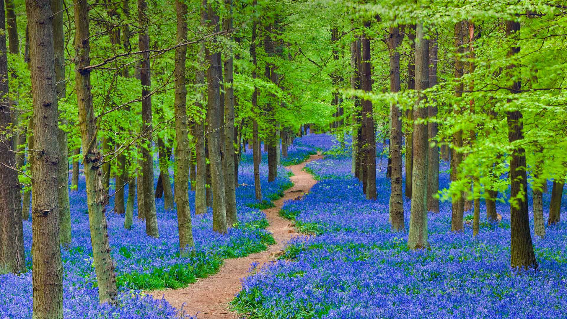
一条蜿蜒穿过开满蓝铃花森林的小径,英格兰赫特福德郡 A path winding through a forest of bluebells in Hertfordshire, England (© JayKay57/Getty Images)
是否有胆量穿过这片蓝铃花丛? Dare to tread through the fairy flower?
Bluebells in Hertfordshire, England
For just a few weeks every spring, across the pond in England and under the newly forming woodland canopy, one of the most enchanting flowers begins to bloom. The bluebell is known by many names but those who know it as the 'fairy flower' might be the most prepared to withstand its strong, sweetly scented allure. According to British folklore, a blooming bluebell carpet on the woodland floor is a mystical place where fairies live. The legends hold that fairies hang their spells on the flowers to dry, and disturbing them would unleash the magic. In earlier times, children were warned that picking bluebells would cause them to be spirited away. Even adults could fall victim to the flower, being doomed to wander the woods and never escape. And heaven forbid you ever happen to hear the fairies ring the bluebells for their gatherings—it means your death is imminent, a belief that inspired another name for bluebells: 'dead men's bells.'
The truth of the matter is that bluebells are considered toxic. Ancient folktales about fairies were a good way to make sure curious humans avoided handling them. But enjoying their beauty is a whole different matter. Walking through ancient woodland to catch a glimpse of these short-lived beauties is a popular activity throughout the United Kingdom where they are most often found, like those in today's photo of Hertfordshire, England. Rare in other parts of the world, there has been a success in transplanting them, should you want to want to tempt fate with the fairies.
英国赫特福德郡的风铃草
每年春天只有几个星期,在英格兰的池塘对面,在新形成的林地树冠下,一朵最迷人的花开始绽放。风铃草有很多名字,但那些知道它是“仙女花”的人可能最愿意忍受它强烈的、芳香的诱惑。根据英国民间传说,林地地板上盛开的蓝铃地毯是仙女们居住的神秘地方。传说中,仙女们把咒语挂在花朵上晾干,扰乱它们就会释放魔法。早些时候,孩子们被警告说,摘风铃草会导致他们被偷偷带走。即使是成年人也可能成为花朵的牺牲品,注定要在树林中徘徊,永远无法逃脱。天哪,你不会碰巧听到仙女们在聚会上敲响风铃,这意味着你的死亡即将来临,这一信念激发了风铃的另一个名字:“死人的铃铛”
事实上,风铃草被认为是有毒的。关于仙女的古代民间故事是确保好奇的人类避免接触它们的好方法。但享受它们的美丽是完全不同的事情。漫步在古老的林地,欣赏这些短暂的美女,是英国最常见的活动,就像今天英国赫特福德郡的照片一样。在世界其他地方很少见,如果你想和仙女们一起挑战命运,移植它们已经成功了。
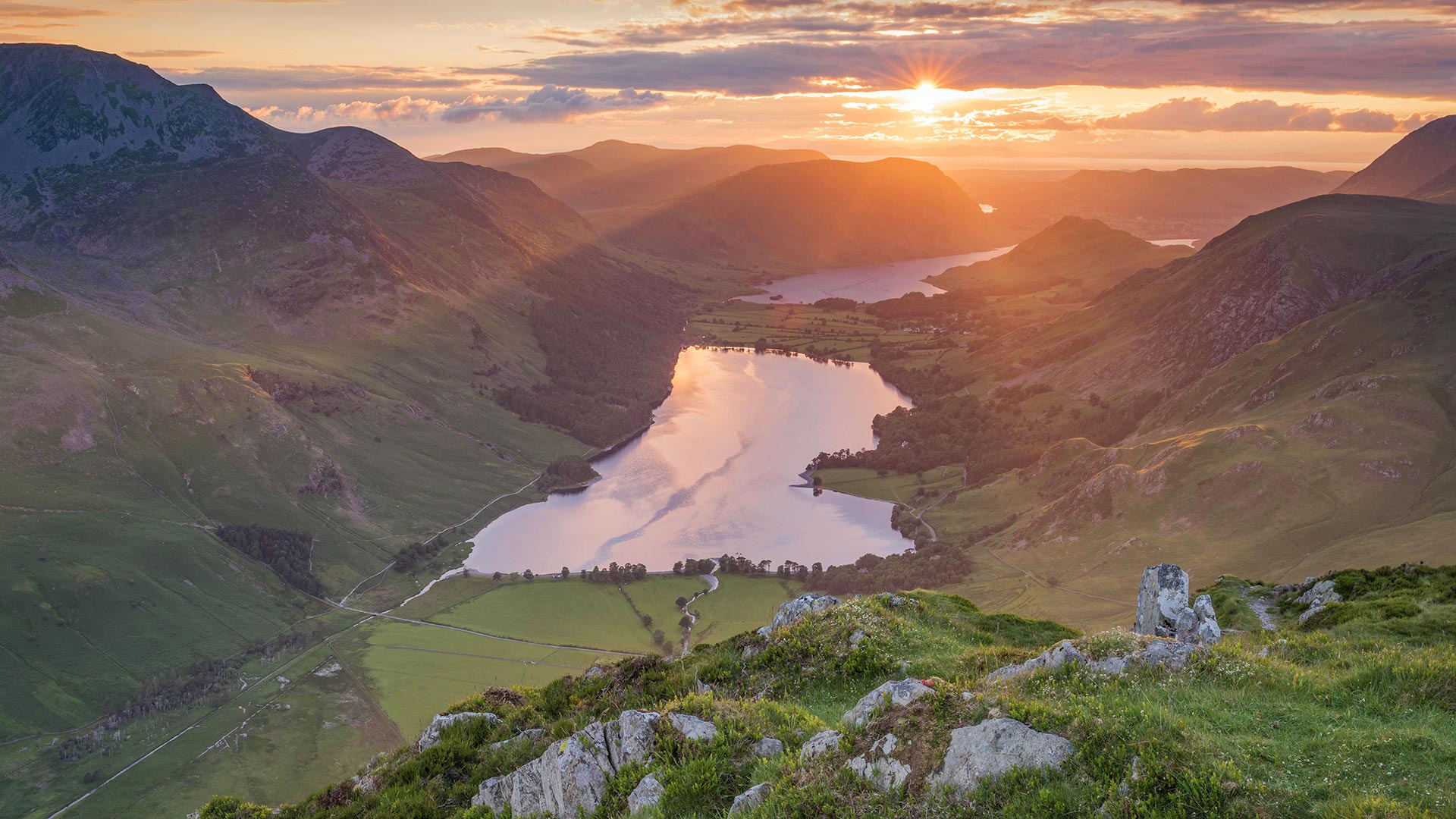
大脊山,英格兰峰区国家公园 (© John Finney Photography/Moment/Getty Images)
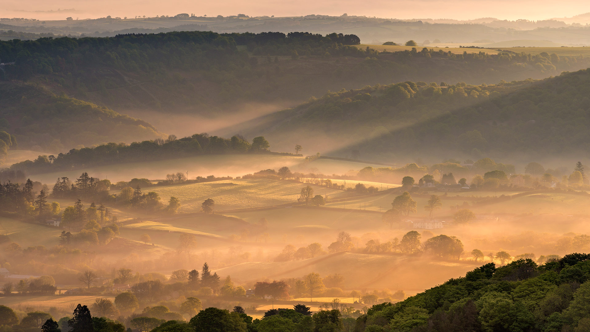
达特穆尔国家公园的薄雾,英格兰德文郡 (© AWL Images/Danita Delimont)
霜雪覆盖下的科茨沃尔德,英格兰 Hoar frost and snow in the Cotswolds, England (© Peter Adams/Getty Images)

霜雪覆盖下的科茨沃尔德,英格兰 Hoar frost and snow in the Cotswolds, England (© Peter Adams/Getty Images)
寒冷降临科茨沃尔德 Cold falls on the Cotswolds
Winter in England's Cotswolds
The Cotswolds region is well known by Brits as a sleepy summer getaway, a day-trip destination for rambling through rolling pastures and charming villages while sampling delicious local produce. But in winter, this rural landscape takes on a new character when snows blanket the countryside.
Some visitors take several days to hike all 102 miles of the Cotswold Way, the trail that leads from charming Chipping Campden in the north, over hill and dale through villages including Dursley—near the spot where this photo was taken—and finally to the city of Bath in the south. The whole stretch has year-round appeal—especially if you include stops at cozy cafes and pubs on the route. It's no wonder the Cotswolds region is the largest patch of land in the UK designated an Area of Outstanding Natural Beauty.
英格兰科茨沃尔德的冬天
科茨沃尔德地区被英国人视为一个令人昏昏欲睡的夏季度假胜地,是一个一日游的目的地,可以在起伏的牧场和迷人的村庄漫步,同时品尝当地美味的农产品。但在冬天,当积雪覆盖乡村时,这种乡村景观呈现出新的特征。
一些游客花了几天时间徒步走完科茨沃尔德路的102英里,这条小径从北部迷人的奇平坎普登出发,穿过山丘和山谷,穿过村庄,包括照片拍摄地点附近的德思礼,最后到达南部的巴斯市。整条路线全年都有吸引力,尤其是如果你在路线上包括舒适的咖啡馆和酒吧。难怪科茨沃尔德地区是英国最大的一片土地,被指定为一个具有杰出自然美景的地区。
哈德良长城上空的北极光,英格兰诺森伯兰郡 Aurora borealis over Sycamore Gap Tree, Hadrian's Wall, Northumberland, England (© Guy Edwardes/NPL/Minden Pictures)

哈德良长城上空的北极光,英格兰诺森伯兰郡 Aurora borealis over Sycamore Gap Tree, Hadrian's Wall, Northumberland, England (© Guy Edwardes/NPL/Minden Pictures)
梧桐树峡 Sycamore Gap Tree
Stars over Sycamore Gap
The Northern Lights have set the sky alight with color here at the famous Sycamore Gap, in Northumberland. This tree has been keeping a lonely vigil for hundreds of years at the bottom of a steep dip in Hadrian’s Wall, the 73-mile-long fortification built to mark the northwest frontier of the Roman Empire. Silhouetted against the sky, it is said to be the most photographed spot in Northumberland National Park.
This part of Northumberland is also home to Europe’s largest area of the protected night sky and England’s first and largest dark sky park. In February it hosts a dark skies festival, with activities, talks, and an exhibition to entice visitors to venture out after dark. Very low levels of light pollution in this area make it a popular destination with stargazers who can see the Milky Way - and sometimes the neighboring Andromeda Galaxy - with the naked eye on a clear night.
The Northern Lights, a celestial light show caused by charged solar particles hitting Earth’s atmosphere, are a rare treat for the lucky ones here in England's most northerly county. But this iconic sycamore is here in all atmospheric conditions, ready for its close-up.
梧桐林隙上的星星
北极光照亮了诺森伯兰著名的悬铃木峡谷的天空。数百年来,这棵树一直孤零零地守夜在哈德良城墙陡峭的山脚下。哈德良城墙是一座73英里长的防御工事,标志着罗马帝国的西北边境。在天空的衬托下,它被认为是诺森伯兰国家公园中拍摄最多的景点。
诺森伯兰的这一部分也是欧洲最大的夜空保护区和英格兰第一个也是最大的夜空公园的所在地。今年2月,它举办了一个黑暗天空节,活动、讲座和展览吸引游客在天黑后外出。这一地区的光污染水平非常低,这使得它成为了一个受天文爱好者欢迎的目的地,他们可以在晴朗的夜晚用肉眼看到银河系——有时还有邻近的仙女座星系。
北极光是一场由带电的太阳粒子撞击地球大气层而引起的天光秀,对于英国最北边的郡里的幸运儿来说,这是一次难得的享受。但这棵标志性的梧桐树在所有的大气条件下都在这里,为它的特写做好了准备。
白霜覆盖下的山毛榉林,英格兰多塞特郡 Beech woodland in hoar frost, Cranborne Chase, Dorset, England (© Guy Edwardes/Minden Pictures)
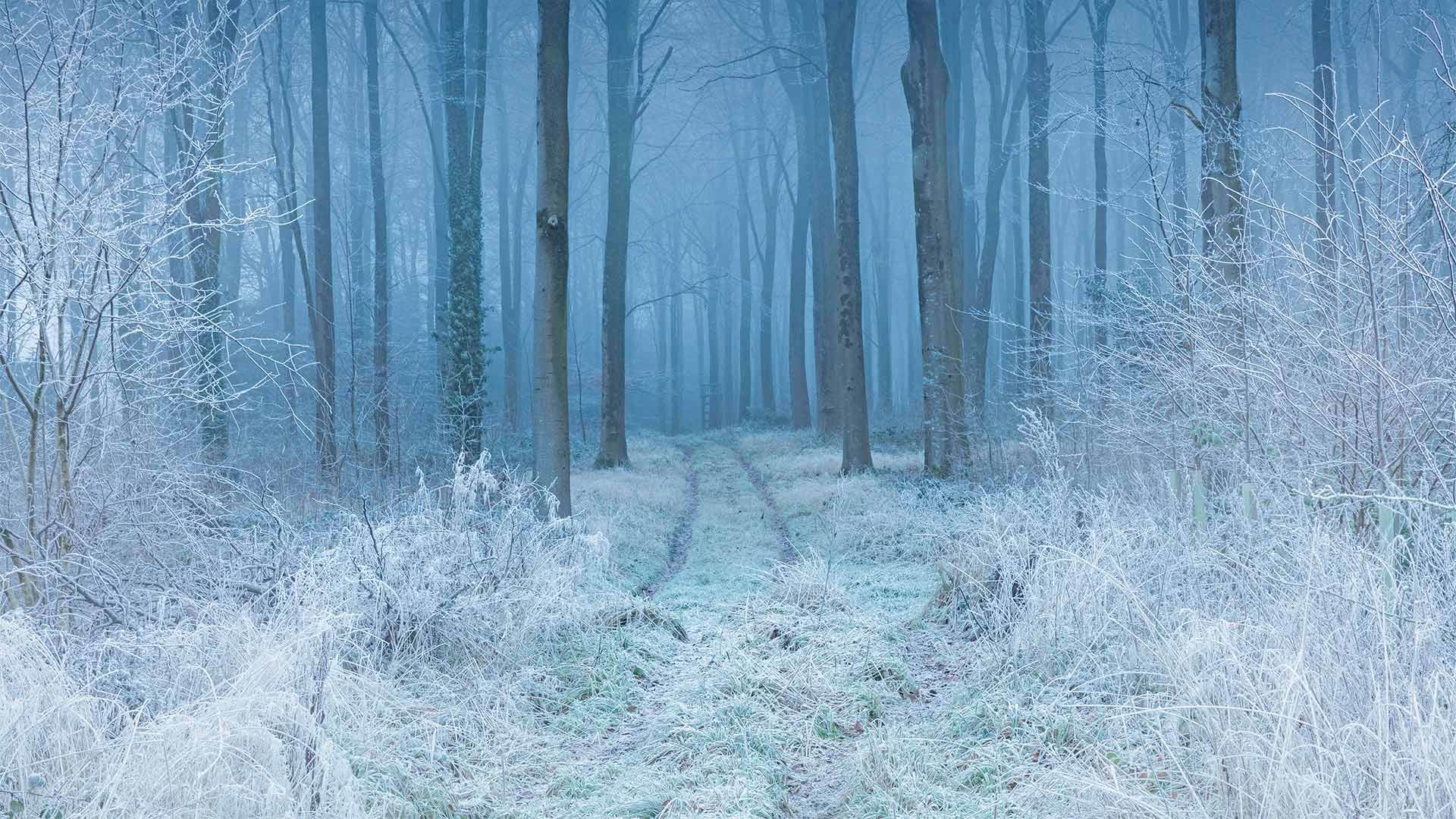
白霜覆盖下的山毛榉林,英格兰多塞特郡 Beech woodland in hoar frost, Cranborne Chase, Dorset, England (© Guy Edwardes/Minden Pictures)
被白霜覆盖的山毛榉林 Beech forest covered in hoarfrost
Cranborne Chase, England
If this looks to you like the setting of a fairy tale, you're not alone. These surroundings have long inspired writers and painters alike. Naturally, Cranborne Chase, England, has been designated a national protected area because of its natural beauty. It may be especially beautiful in winter, when the trees and shrubs can be coated with hoarfrost, an uncommon type of frost that forms when water vapor turns directly into ice, skipping the liquid stage.
Cranborne Chase is a plateau in southern England touching the counties of Dorset, Hampshire, Somerset, and Wiltshire. These 380 square miles of diverse countryside include rolling grasslands, river valleys, hillsides, and ancient woodlands. The area has been inhabited since the stone age, and for centuries was a royal hunting ground—in fact, the word 'chase' derives from these hunts. Today, while Cranborne Chase is protected from most new development, it's not a wilderness—nearly 90% of the land is used for farming and more than 30,000 people live here.
英国克兰伯恩蔡斯
如果你觉得这就像童话故事的背景,那么你并不孤单。长期以来,这些环境一直激励着作家和画家。自然地,英格兰的克兰伯恩蔡斯因其自然美景而被指定为国家保护区。在冬天,树木和灌木丛可能会被白霜覆盖,这是一种罕见的霜,当水蒸气直接变成冰,跳过液体阶段时形成。
克兰伯恩蔡斯是英格兰南部的一个高原,与多塞特、汉普郡、萨默塞特和威尔特郡接壤。这380平方英里的多样化乡村包括起伏的草原、河谷、山坡和古老的林地。该地区自石器时代起就有人居住,几个世纪以来一直是皇家狩猎场。事实上,“追逐”一词源自这些狩猎。如今,尽管克兰伯恩蔡斯受到保护,不受大多数新开发项目的影响,但它并不是一片荒野。近90%的土地用于农业,有3万多人居住在这里。
莱达尔湖, 英格兰坎布里亚郡湖区 Rydal Water in the Lake District, Cumbria, England (© Tranquillian1/iStock/Getty Images Plus)
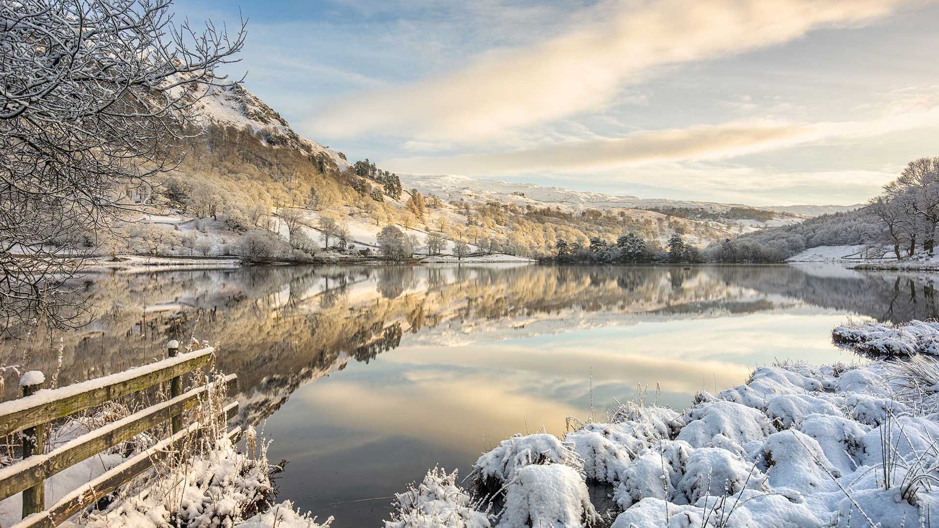
莱达尔湖, 英格兰坎布里亚郡湖区 Rydal Water in the Lake District, Cumbria, England (© Tranquillian1/iStock/Getty Images Plus)
Rydal Water in the Lake District, Cumbria, England
Reflecting winter skies and frozen fells in our homepage image is Rydal Water, one of the smallest but prettiest lakes in the Lake District. Rydal Water is one of the two lakes most associated with William Wordsworth, one of England’s greatest poets. (The other is neighbouring Grasmere, to which Rydal is connected by the River Rothay.) Wordsworth lived around these bodies of water, first at Dove Cottage and later Rydal Mount, between 1799 and 1850, writing some of his best-known works and hosting leading lights of the Romantic movement, including his friend, Samuel Taylor Coleridge. To the western edge of the lake is Wordsworth’s Seat, a rocky outcrop said to be the writer’s favourite spot.
Rydal Water is in a glacial valley, one of 13 valleys in the Lake District. Partly owned by the National Trust, it sits at the foot of Loughrigg Fell and has been known to freeze over on winter days like this one. You can walk around Rydal Water and take in Wordsworth’s former homes as well as passing by Rydal Cave in the hill above the lake. Surrounded by woodland, pasture and craggy fells, with several historic properties and beautifully designed landscapes, this is an inspiring place for aspiring poets, whatever the season.
英格兰坎布里亚湖区的赖德尔水
赖达尔湖是湖区最小但最美丽的湖泊之一,它反映了我们主页图像中冬季的天空和冰冻的森林。莱德尔湖是与英国最伟大的诗人之一威廉·华兹华斯联系最为密切的两个湖泊之一。(另一个是邻近的格拉斯米尔,莱德尔河与之相连。)1799年至1850年间,华兹华斯生活在这些水域周围,先是在多夫小屋,后是莱德尔山,他写了一些最著名的作品,并主持了浪漫主义运动的主要活动,包括他的朋友塞缪尔·泰勒·柯勒律治。湖的西边是华兹华斯的所在地,据说这是作家最喜欢的地方。
莱德尔河位于一个冰川峡谷中,是湖区13个山谷之一。部分归国家信托基金所有,坐落在Loughrigg Fall脚下,在像这样的冬天会结冰。你可以在莱达尔水边散步,参观华兹华斯的故居,也可以经过湖上小山上的莱达尔洞穴。这里被林地、牧场和崎岖的小林所环绕,有几处历史古迹和设计精美的景观,无论什么季节,这都是一个让有抱负的诗人感到振奋的地方。
约克郡谷地国家公园里的山丘,英格兰 Howgill Fells in the Yorkshire Dales National Park, England (© davidnmoorhouse/iStock/Getty Images Plus)
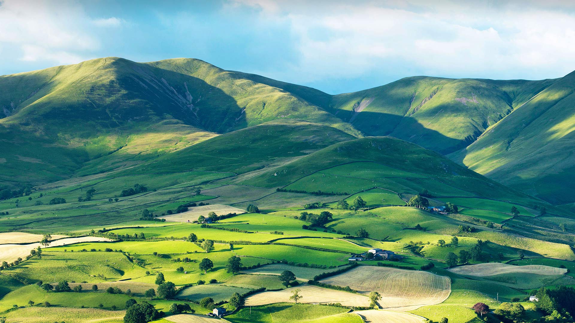
约克郡谷地国家公园里的山丘,英格兰 Howgill Fells in the Yorkshire Dales National Park, England (© davidnmoorhouse/iStock/Getty Images Plus)
Between the Lakes and the Dales
Nestled between the Yorkshire Dales and the Lake District, the smooth rounded shapes and steep gills (ravines) of the Howgill Fells capture an eye-catching pattern of light and shade. These ancient hills, formed more than 400 million years ago, have remained a largely settlement-free zone, uncrossed by roads and untouched by development. Trees are scarce on the high ground, where sheep and wild ponies graze and small streams tumble down dark, narrow gullies and the panoramic views from the fells are a sight worth climbing for. The highest point is the top of The Calf, at 2,218ft (676m), from where hikers can enjoy a 20-mile skyline of the Lakeland peaks, the Yorkshire Three Peaks and the nearer Howgill peaks.
Part of the range sits within Yorkshire Dales National Park, although they are actually in the county of Cumbria. The Howgill Fells’ striking appearance was perhaps best summed up by the famed fell walker and guide book author A. Wainwright as “sleek and smooth, looking from a distance like velvet curtains in sunlight, like silken drapes at sunset … a remarkable concentration of summits often likened to a huddle of squatting elephants”.
湖与谷之间
坐落在约克郡山谷和湖区之间的豪吉尔森林,平滑的圆形和陡峭的鳃(沟壑)捕捉到了引人注目的明暗模式。这些形成于4亿多年前的古老山丘一直是一个基本上没有定居点的区域,没有道路交叉,也没有开发。高地上树木稀少,绵羊和野马在那里吃草,小溪从黑暗狭窄的沟壑中滚滚而下,从山林中俯瞰全景是一个值得攀登的景观。最高点是小牛的顶部,海拔2218英尺(676米),徒步旅行者可以在这里欣赏20英里的湖畔山峰、约克郡三峰和更近的豪吉尔峰的天际线。
部分山脉位于约克郡山谷国家公园内,尽管它们实际上位于坎布里亚县。豪吉尔·费尔斯引人注目的外表也许是著名的费尔沃克和导游书作者A的最佳概括。温赖特被称为“光滑光滑,从远处看,就像阳光下的天鹅绒窗帘,像日落时的丝绸窗帘……山峰的显著集中常常被比作一群蹲着的大象”。

