万圣节之夜在黑暗的树篱 Halloween night at the Dark Hedges (© Audio: Emmett Cooke/Shutterstock; Cedric Hommel/Getty | Video: VanderWolf Images, Lario Tus, Parinya/Shutterstock; mputsylo/Getty Images)
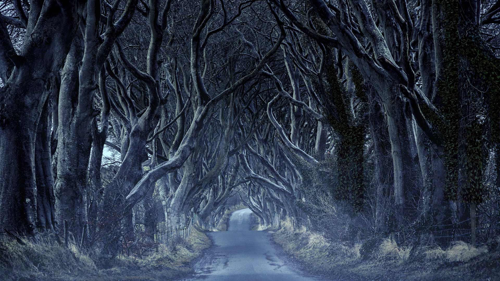
万圣节之夜在黑暗的树篱 Halloween night at the Dark Hedges (© Audio: Emmett Cooke/Shutterstock; Cedric Hommel/Getty | Video: VanderWolf Images, Lario Tus, Parinya/Shutterstock; mputsylo/Getty Images)
'Twas a night just like tonight…
In the late 18th century, a wealthy landowner built an estate in County Antrim in what is now Northern Ireland. To make a scenic but imposing entryway, he had 150 beech trees planted on either side of the road (90 trees survive). The trees grew to form the Dark Hedges—a tunnel of trees leading up to the property. In the right conditions—say a gloomy autumn night with the moonlight casting shadows through the tree canopy—this road can be a little spooky.
If that isn't enough to tingle your spine, many travelers who've made their passage down Dark Hedges have reported seeing the Grey Lady—a spectral woman who crosses the path, only to vanish into the trees. And according to local lore, on Halloween, the Grey Lady is joined in her wanderings by the occupants of the nearby graveyard. We love a good ghost story on Halloween but, do you mind if we turn on the lights?
克林格尔农场的Mazezilla玉米田迷宫,宾夕法尼亚州 Mazezilla corn maze at Klingel's Farm in Pennsylvania (© Alex Potemkin/Getty Images)
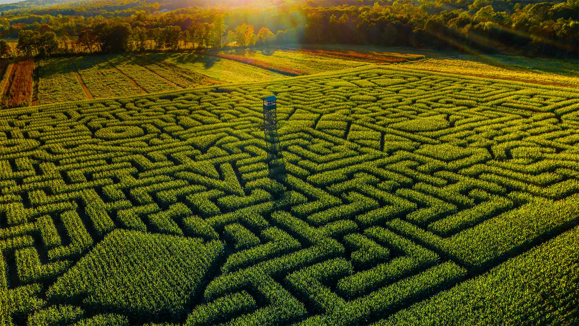
克林格尔农场的Mazezilla玉米田迷宫,宾夕法尼亚州 Mazezilla corn maze at Klingel's Farm in Pennsylvania (© Alex Potemkin/Getty Images)
Let's get lost
Welcome to Mazezilla! This 11-acre corn maze in the Poconos region of Pennsylvania boasts a unique corn maze design each fall. Don't worry, if you take a wrong turn, you won't be lost forever. 'Corn helpers' are scattered throughout the maze to help confused maze-goers find their way again, and 'tower people' keep a watchful eye over the maze. This year, visitors to the maze are asked to wear masks, stay at least 6 feet apart, and take other precautions, but organizers are still promising a 'spooktacular 2020.'
While mazes and labyrinths date back more than 4,000 years, the first modern corn maze was created in Annville, Pennsylvania, in 1993. It was constructed on three acres of land and was named the world's largest corn maze by the Guinness Book of World Records. The current record for largest corn maze went to Cool Patch Pumpkins in 2014 for their 60-acre maze in Dixon, California.
国家誓言圣殿上怪诞的厄瓜多尔本土海鸟,厄瓜多尔基多 Grotesques of native Ecuadorian seabirds on the Basílica del Voto Nacional in Quito, Ecuador (© Henri Leduc/Getty Images)
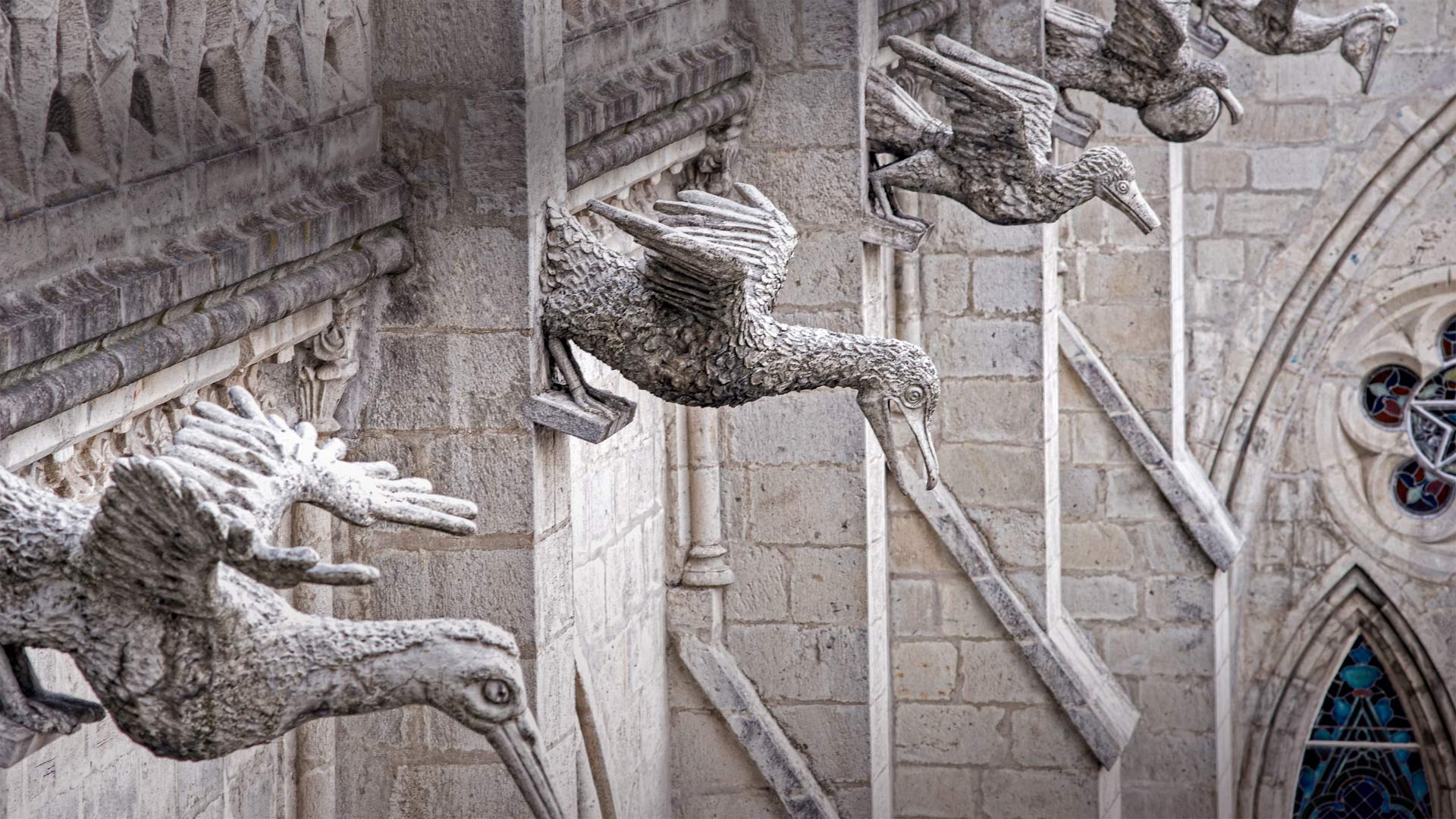
国家誓言圣殿上怪诞的厄瓜多尔本土海鸟,厄瓜多尔基多 Grotesques of native Ecuadorian seabirds on the Basílica del Voto Nacional in Quito, Ecuador (© Henri Leduc/Getty Images)
A 'grotesque' scene
'Goofy' might be a better descriptor, but these seabird statues lining an outer wall of an Ecuadoran cathedral are called 'grotesques'—the architectural term for a statue ornamenting the side of a building. But hang on…don't we call those 'gargoyles'? Not exactly. Gargoyles are a type of grotesque that boast a specific, practical feature: spouts that convey water from rain gutters away from the building.
Grotesques often live up to their off-putting name, depicting demons or monsters (the word 'gargoyle' comes from 'garguille,' an evil creature from French legend). But the Basílica del Voto Nacional's grotesques celebrate the beautiful fauna of Ecuador: not only seabirds but iguanas, crocodiles, armadillos, and more. Though the Basílica is one of Quito's premier tourist attractions, it's been under construction since 1892 and technically remains unfinished—but legend has it the world will end when it's complete, so no one's really been rushing the job.
亨茨维尔附近绿色山公园中的Cambron Covered Bridge,阿拉巴马州 Cambron Covered Bridge in Green Mountain Park, near Huntsville, Alabama (© Jens Lambert/Shutterstock)
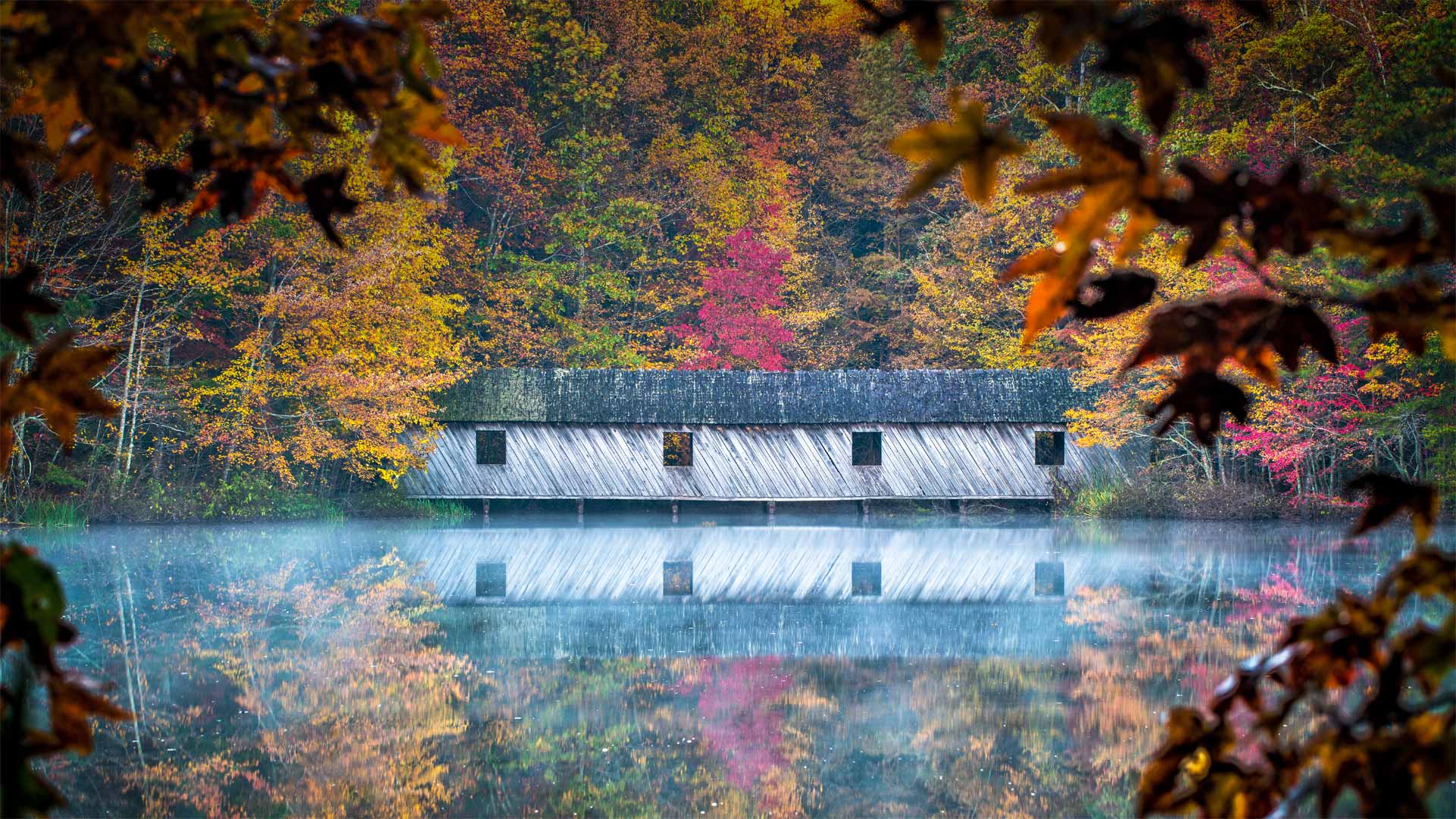
亨茨维尔附近绿色山公园中的Cambron Covered Bridge,阿拉巴马州 Cambron Covered Bridge in Green Mountain Park, near Huntsville, Alabama (© Jens Lambert/Shutterstock)
A bridge of Madison County
Framed here for the season by fall foliage, the Cambron Covered Bridge is located along a nature trail in Green Mountain Park in Madison County, *Alabama*—not Iowa, which is the setting of the bestselling romance novel 'The Bridges of Madison County.' It's believed there were once about 14,000 covered bridges in the US, but fewer than 900 or so remain today, a quarter of which can be found in Pennsylvania. But Alabama has covered-bridge bragging rights, too. The state has 11 historic covered bridges. Built in 1974, the Cambron Covered Bridge doesn't make the official 'historic' list, but it does offer hikers a peaceful passageway with great views of Sky Lake.
科夫堡,英国多塞特 Corfe Castle, Dorset, England (© Ross Hoddinott/Minden Pictures)
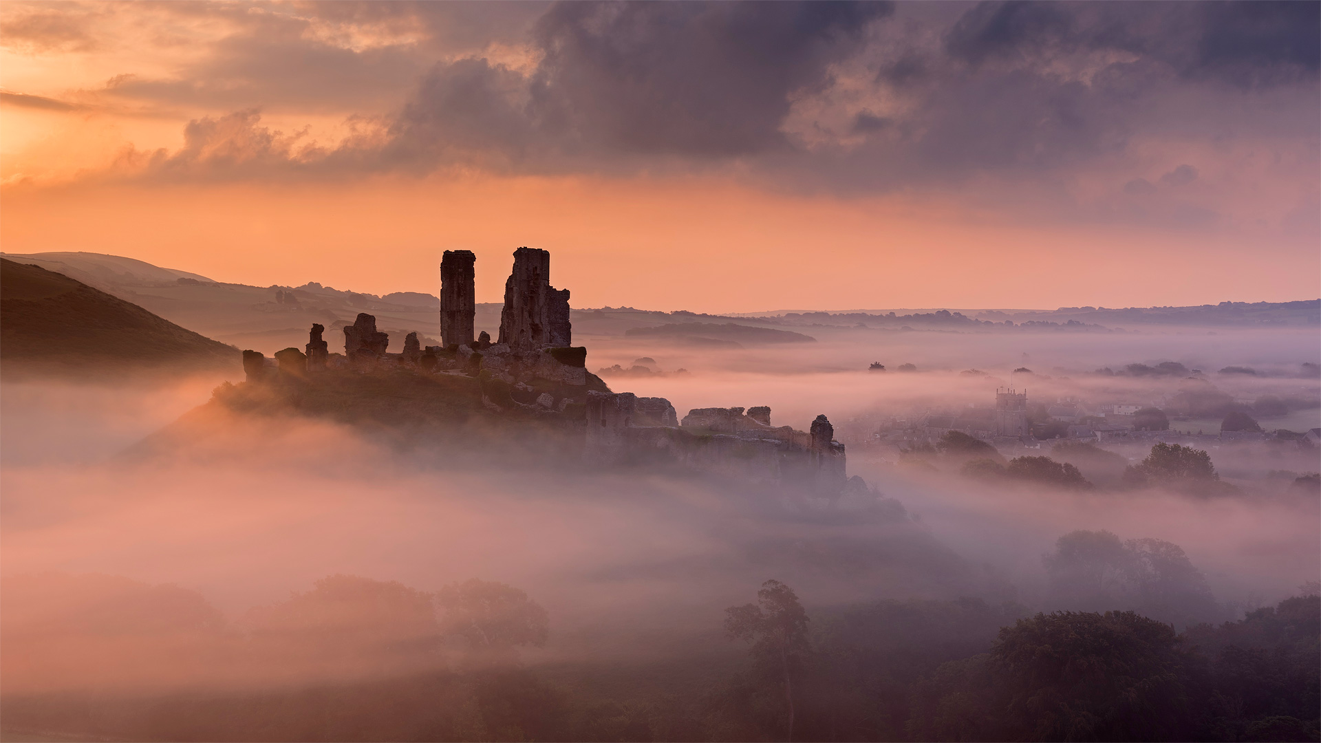
科夫堡,英国多塞特 Corfe Castle, Dorset, England (© Ross Hoddinott/Minden Pictures)
Creepy Corfe Castle
Spying the crooked silhouette of Corfe Castle above the rolling, foggy hills of Dorset, you might not guess at the ruin's former palatial beauty—you'll more likely sense its long history of intrigue, and maybe feel a chill down your spine.
Corfe's tale begins with a betrayal. Rumor has it this mound is where the teenage King Edward the Martyr was assassinated, likely by his half-brother and successor Æthelred the Unready, in 978—a century before the original stone structure was built. The castle became a favorite of 13th-century ruler King John—whose luxurious renovations hid a feared dungeon where the calculating monarch starved numerous prisoners. In the mid-1600s English Civil War, noblewoman Mary Bankes—wife of the castle's new lord, who was off fighting the war—doggedly defended it against antiroyalist forces in a 3-year siege. But Mary was given up by members of her entourage and captured, and the castle was toppled into the craggy heap you see now—another betrayal to end its story.
Nowadays the remains of Corfe Castle are preserved as a Scheduled Ancient Monument by the UK—but that status might not be all that's protecting the site. Reports of children's sobs echoing through the air, unexplained flickering lights, and—most notoriously—the headless apparition of a white-clad woman have some believing specters of a millennium past still haunt the ruin.
不列颠哥伦比亚省的一块南瓜田,加拿大 A pumpkin patch in British Columbia, Canada (© James Chen/Shutterstock)
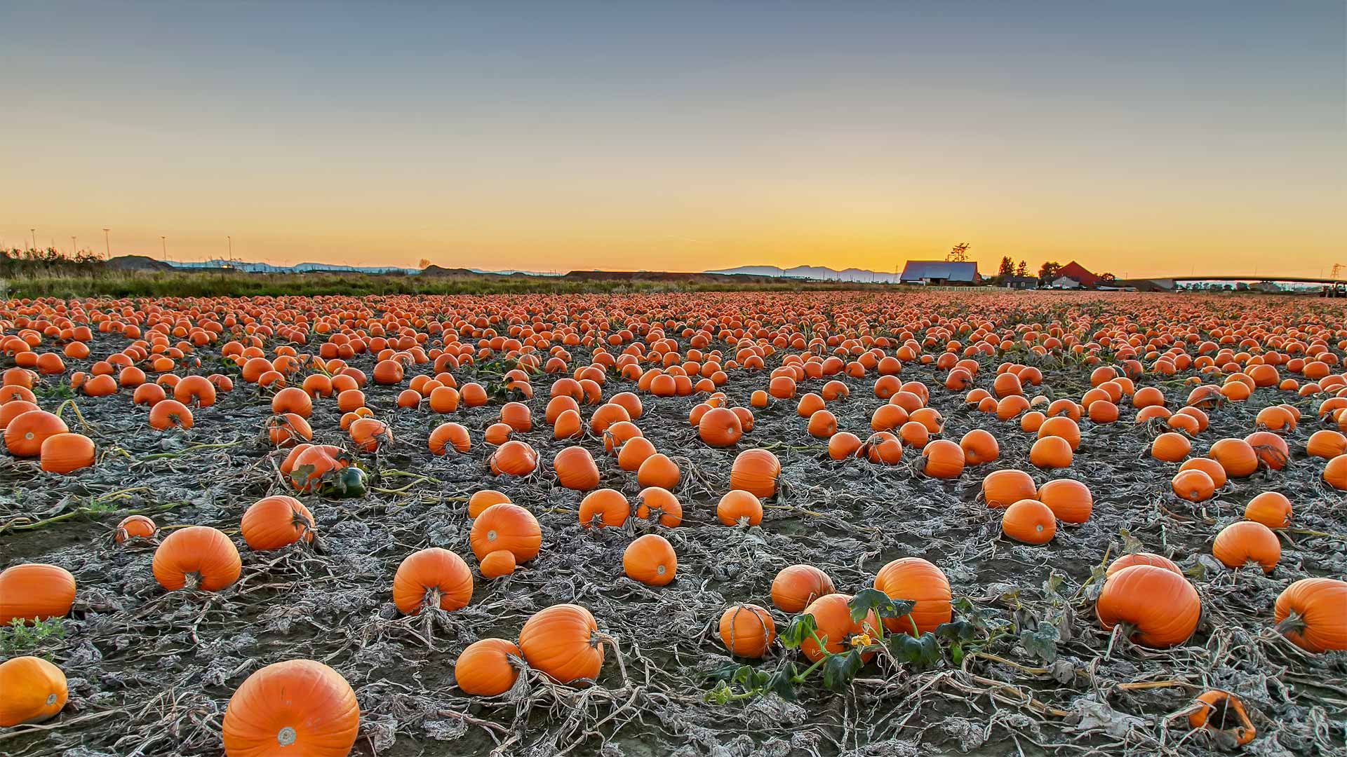
不列颠哥伦比亚省的一块南瓜田,加拿大 A pumpkin patch in British Columbia, Canada (© James Chen/Shutterstock)
A most sincere pumpkin patch
Ah, the perennial pumpkin patch. You might think the round orange gourds in today's photo are vegetables, but botanists say pumpkins are actually the fruit of pumpkin vines. They're considered fruit because pumpkins contain seeds and grow from the same part of the plant that produces flowers. And now, as Halloween nears, pumpkins are ripe for picking and carving into spooky jack-o'-lanterns.
The jack-o'-lantern tradition dates to mid-1800s Ireland when people carved faces into potatoes or turnips to ward off evil spirits. Irish immigrants brought the tradition to North America, only to discover that native pumpkins were much easier to carve. Fast-speed ahead and we're just grateful that pumpkins are the seasonal 'fruit' of choice since turnips would make a questionable spiced-latte drink.
纽约市的天际线与联合国总部大楼 New York City skyline with United Nations headquarters (© Sean Pavone/Alamy)
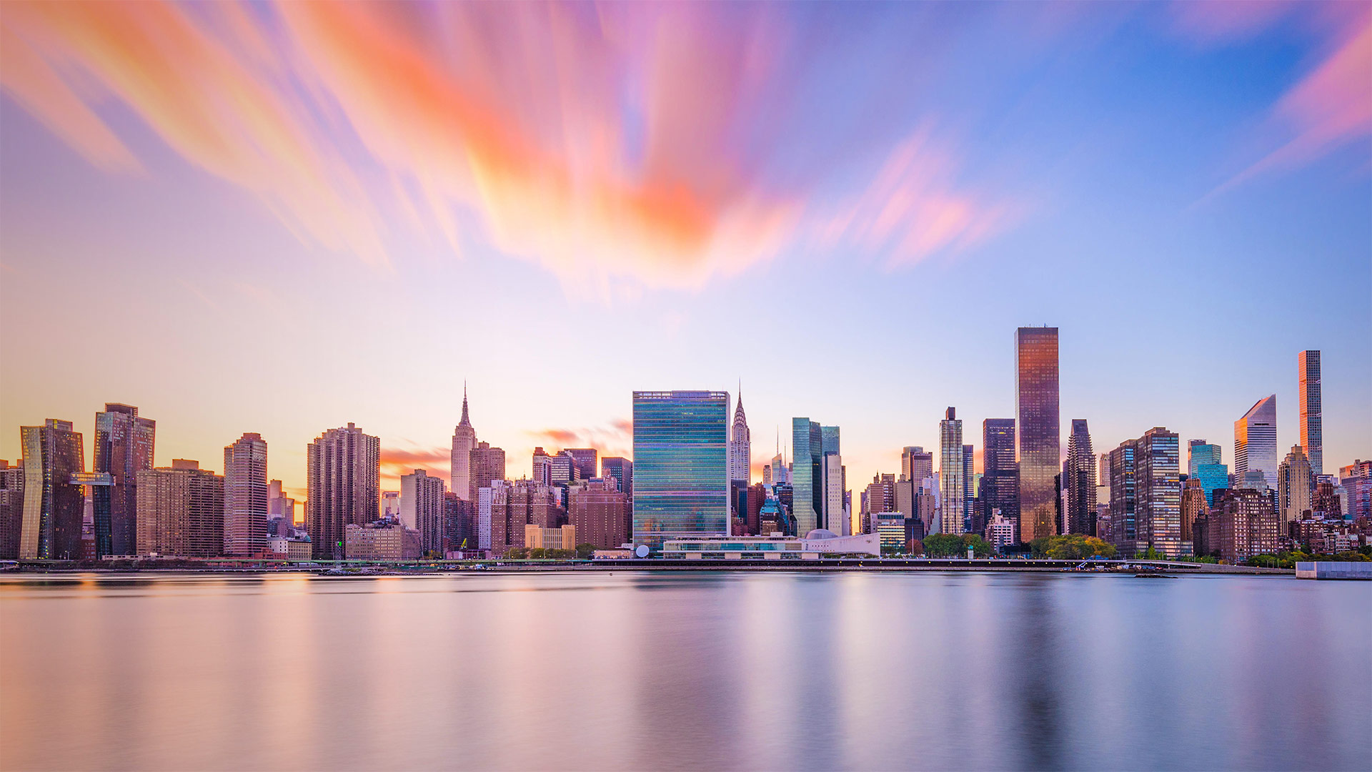
纽约市的天际线与联合国总部大楼 New York City skyline with United Nations headquarters (© Sean Pavone/Alamy)
75 years of the United Nations
We're looking at the New York City skyline with the UN's headquarters in the middle for United Nations Day, marking the anniversary of the date when the UN Charter entered into force. This year is a milestone 75th anniversary of the United Nations, which replaced the League of Nations as the world's largest and most powerful intergovernmental organization. To mark the occasion, the UN launched its UN75 global dialogue initiative in January, and discussions have taken place around the world in settings ranging from classrooms to the UN General Assembly. COVID-19 has made some of these events a logistical challenge, but it's also highlighted the need for countries to work together to face global issues. The UN website allows anyone to participate, with toolkits for dialogue, issues briefs, and other resources.
Bents的旧百货商店,加拿大萨斯喀彻温省 Old general store of Bents, Saskatchewan, Canada (© ImagineGolf/Getty Images)
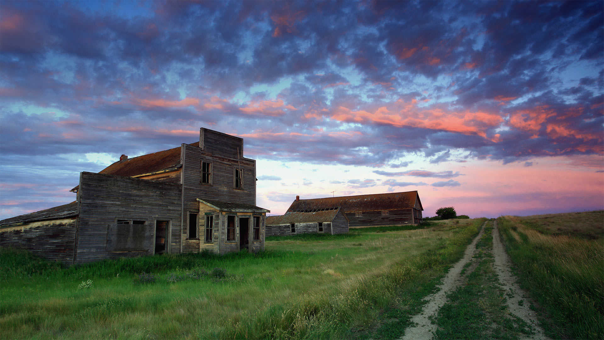
Bents的旧百货商店,加拿大萨斯喀彻温省 Old general store of Bents, Saskatchewan, Canada (© ImagineGolf/Getty Images)
Saskatchewan's spookier side
If you're greeted by a friendly face and a warm 'Welcome to Bents' as you stroll up to this old general store, you might be having a paranormal experience: It's been 50 years since a living soul dwelt in this Saskatchewan ghost town.
Built along one of the last spurs of track laid during central Canada's early-20th-century railroad boom, Bents didn't attract many residents before it quickly declined in the 1920s, when droughts stymied the region's wheat crop. By the '60s even the last hangers-on were gone, leaving only the shells of the store, grain elevator, and a few other assorted buildings. Plus of course any spirits who, nostalgic for the outpost's short-lived heyday, might still call it a favorite haunt.
Lauwersmeer国家公园上空的椋鸟群,荷兰 Starlings flock over Lauwersmeer National Park, Netherlands (© Frans Lemmens/Alamy)
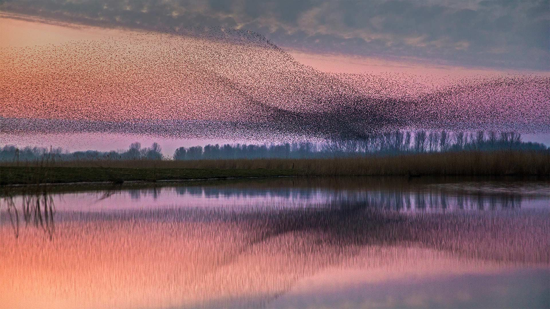
Lauwersmeer国家公园上空的椋鸟群,荷兰 Starlings flock over Lauwersmeer National Park, Netherlands (© Frans Lemmens/Alamy)
Moving as one
After the nesting and breeding seasons of spring and summer have passed, starlings become highly social birds, often gathering in flocks that number in the thousands. These flocks sometimes take the form of a murmuration—when the birds form a group large and dense enough that they appear to move together as a single organism, even if the movements seem arbitrary. Though scientists still don't quite understand how the individual starlings in a murmuration coordinate their tight, fluid formations, the behavior is thought to be a way to confuse predators.
Imagine if you're a falcon on the hunt and you see a small group of starlings—an easy meal if you catch one. But if the starlings spot the predator first, they may form a murmuration, swooping and diving as one, making it difficult for the falcon to isolate and hunt an individual starling.
比弗湖自然中心内光秃秃的树和红盖鳞毛蕨,纽约 Bare trees and autumn ferns in Beaver Lake Nature Center, New York (© Chris Murray/Alamy)
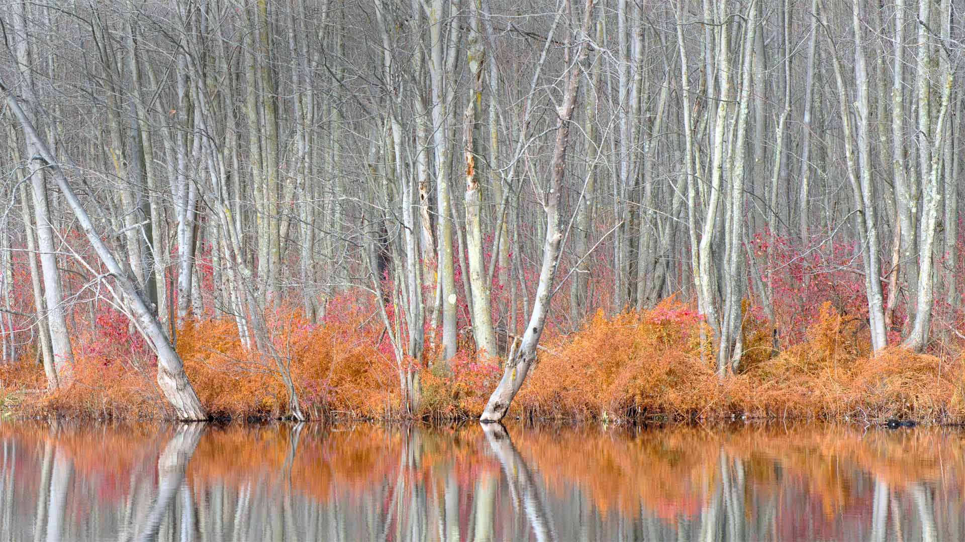
比弗湖自然中心内光秃秃的树和红盖鳞毛蕨,纽约 Bare trees and autumn ferns in Beaver Lake Nature Center, New York (© Chris Murray/Alamy)
Reflecting on fall
Some of the best things about fall in many parts of the country are the amazing colorful displays across the landscape. While the trees here in Beaver Lake Nature Center, near Syracuse, New York, are already bare, the autumn ferns here cast a radiant reflection on the water. This 661-acre natural area contains a 200-acre glacial lake that draws migrating Canadian geese to its shores. Visitors may also see more than 200 species of other birds and over 800 varieties of plants. The nature center is also a destination for cross-country skiing in the winter, as well as kayaking and canoeing in the summer months.