都柏林的圣斯蒂芬绿地,爱尔兰 St. Stephen's Green in Dublin, Ireland (© L_E/Shutterstock)
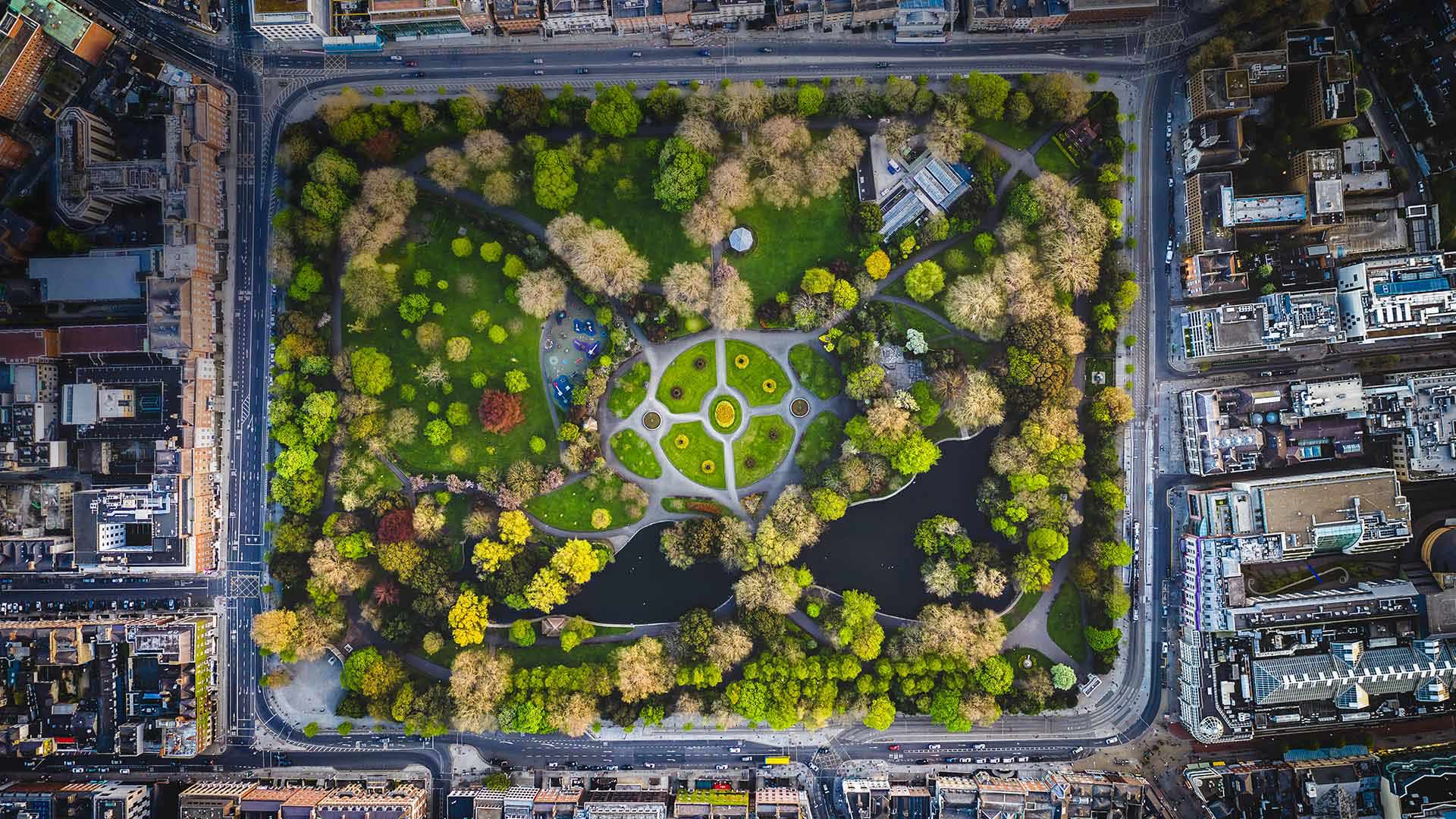
都柏林的圣斯蒂芬绿地,爱尔兰 St. Stephen's Green in Dublin, Ireland (© L_E/Shutterstock)
In the footsteps of Leopold Bloom
Today, we're looking down at St. Stephen's Green in Dublin in honor of Bloomsday, a day when people celebrate Irish author James Joyce and his famous 1922 novel 'Ulysses.' But, why today you ask? That's because the novel follows the meanderings and thoughts (and meandering thoughts) of the protagonist, Leopold Bloom, and a host of other characters—real and fictional—from 8AM on June 16, 1904, through the early hours of the next morning.
In 1924, Joyce himself mentioned in a letter that some people celebrated 'Bloom's day' on June 16, which must have amused him. Then, for the 50th anniversary of the events in the novel, a group of Irish literary figures and other 'Ulysses' enthusiasts organized a kind of a pilgrimage on June 16, 1954, ambling along the route that Bloom takes through Dublin. Bloomsday has since grown into a worldwide literary celebration. People in Dublin can follow in the characters' footsteps through the city's streets, visiting places immortalized in the novel; others may celebrate by dressing in fashion from the time, eating food mentioned in the book, and performing readings of the text.
梅德威海滩棕榈树间散步的冲浪者,印尼巴厘岛 Surfer walking between palm trees in Medewi, Bali, Indonesia (© helivideo/GettyImages)
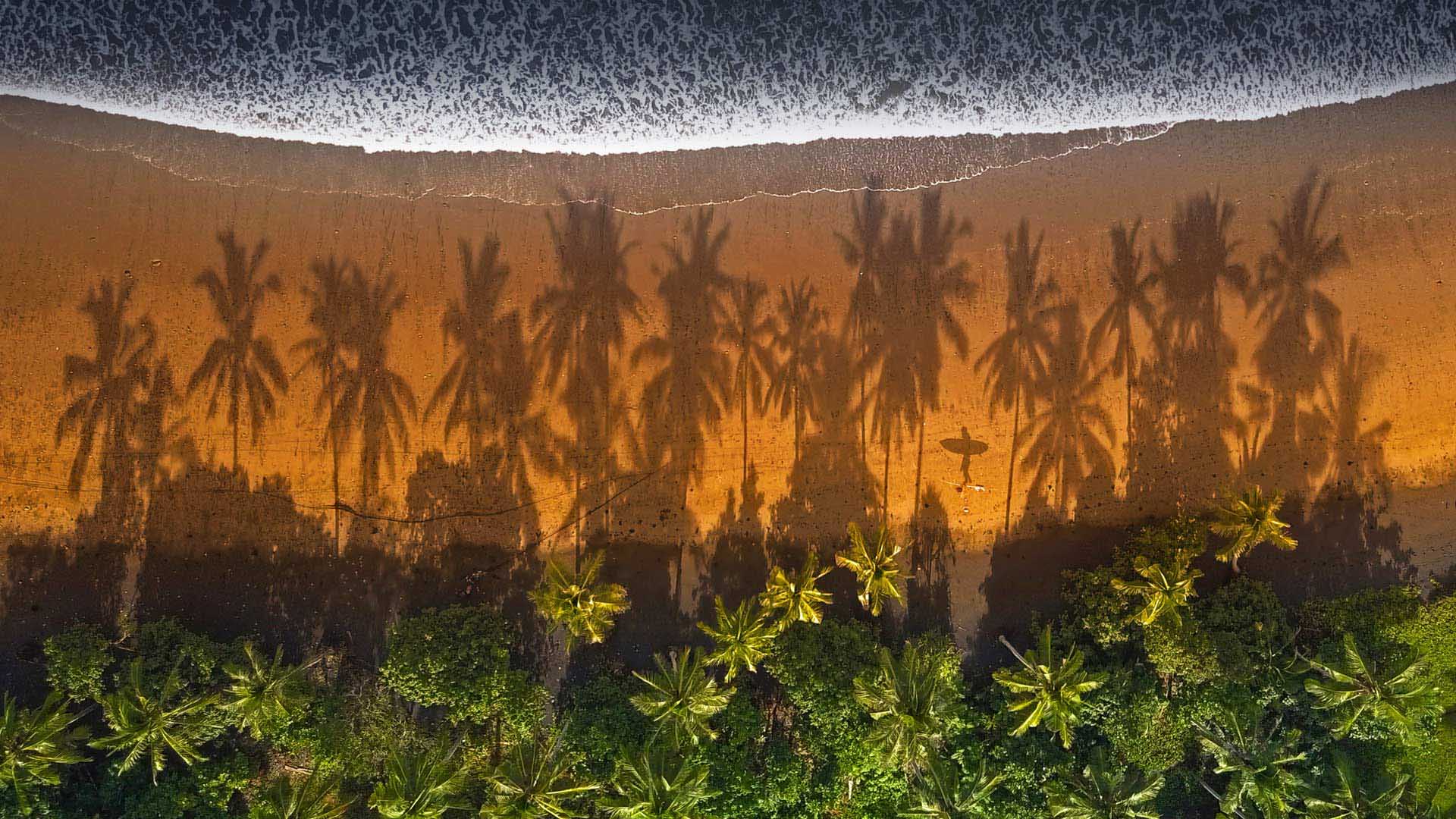
梅德威海滩棕榈树间散步的冲浪者,印尼巴厘岛 Surfer walking between palm trees in Medewi, Bali, Indonesia (© helivideo/GettyImages)
Surfer's paradise
Look closely at today's homepage image and you'll spot the shadow of a surfer, who's probably delighted to be here in Medewi, Bali. It's a favorite spot for big waves, warm water, and beautiful views. With its 13,000 islands and year-round warm water, Indonesia is a prime surfing destination. The island of Bali especially has gained a reputation as a mecca for the sport since global wave-chasers started arriving here in the 1960s and '70s. These days major surfing brands operate their Southeast Asia headquarters out of Bali. Peak surf season here usually falls between April and October, but you can get a fix anytime—just a cue up a classic surf movie filmed on the beaches of Bali, such as 'Morning of the Earth' or 'The Endless Summer 2.'
火灾烧毁大部分森林后,野花遍地的凯尔特河野营地 Kettle River Recreation Area bursting with wildflowers after a fire destroyed much of the forest, British Columbia, Canada (© Debra Brash/plainpicture)
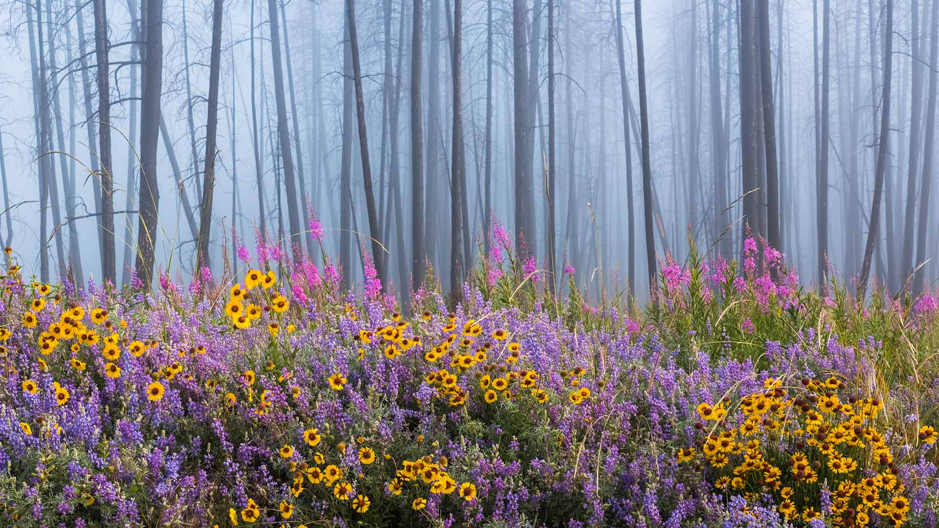
火灾烧毁大部分森林后,野花遍地的凯尔特河野营地 Kettle River Recreation Area bursting with wildflowers after a fire destroyed much of the forest, British Columbia, Canada (© Debra Brash/plainpicture)
Rising from the ashes
This dazzling display of colorful wildflowers is a result of a wildfire that raged through the forest here in British Columbia’s Kettle River Recreation Area. Wildfires in forests are natural and vital to the ecosystem. The heat from the burning tree dumps millions of seeds on the forest floor. Decaying flora turned into ash, releases nutrients in the soil which in turn invigorates the growth of new seedlings. The raging fire further contributes to an abundant new growth of plant matter by eliminating weeds and invasive insects. It also thus makes way for sunlight to immerse the forest floor enabling seeds to germinate and eventually bloom into a scene like our homepage today.
杜尔比河峡谷中的Moulin de Corp和小桥,法国Grands Causses自然公园 The Dourbie Gorge Corps Mill and adjoining bridge in Grands Causses Natural Regional Park, France (© Hemis/Alamy)
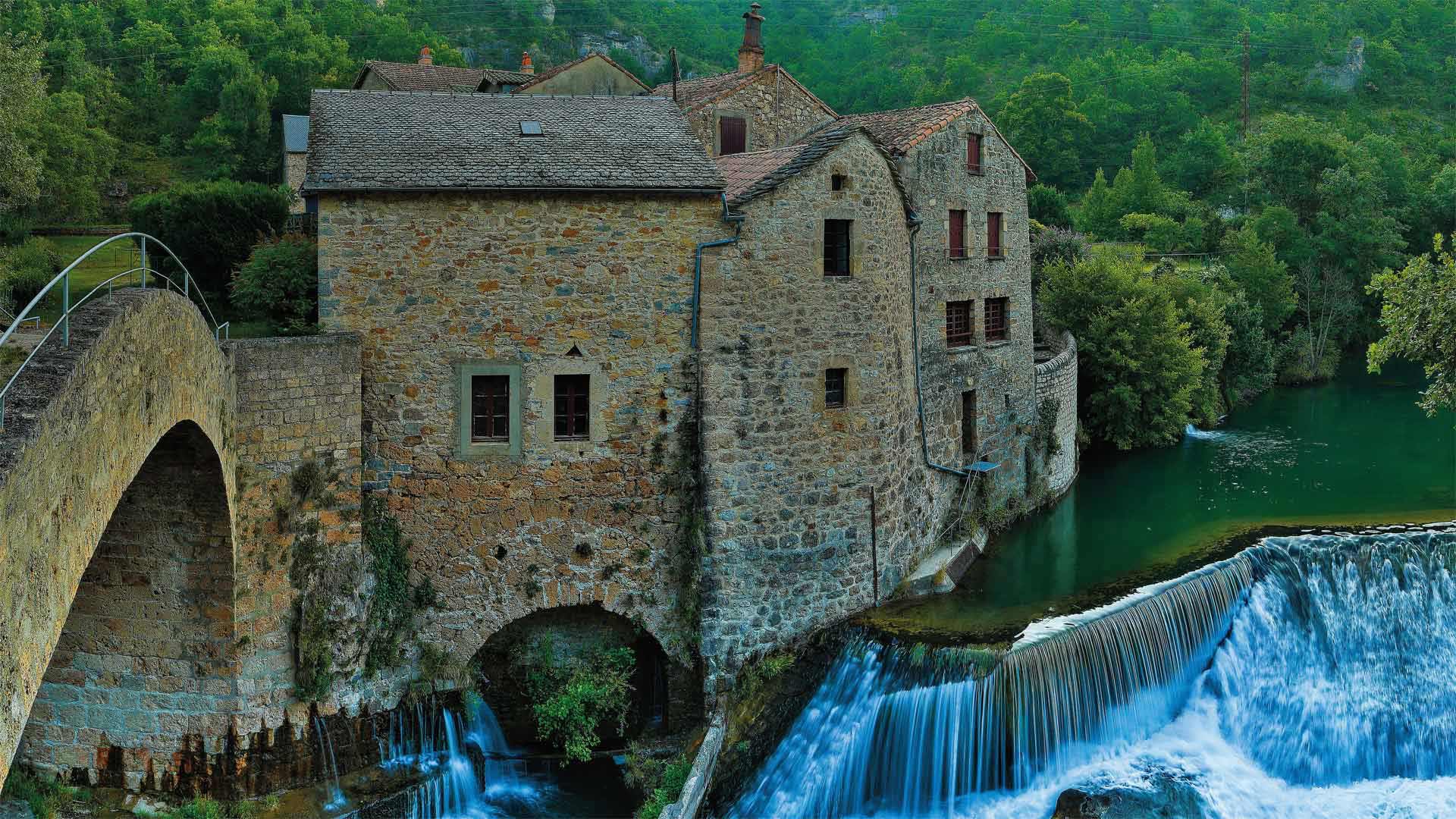
杜尔比河峡谷中的Moulin de Corp和小桥,法国Grands Causses自然公园 The Dourbie Gorge Corps Mill and adjoining bridge in Grands Causses Natural Regional Park, France (© Hemis/Alamy)
A gorge-ous mill in the Causses
It may look peaceful now, but on warm days the river below this mill attracts swimmers, kayakers, and the occasional sport fisherman. Moulin de Corps (Corps Mill) connects to a stone bridge that spans the Dourbie River in a gorge deep within the Grands Causses Regional Nature Park of southern France. Built by a French lord in the 14th century, the mill originally produced flour. But by the 20th century it had been converted to the private residence we see in today's picture. The Grands Causses Regional Nature Park is home to hundreds of mills like this one, examples of a cultural heritage that can still be found throughout the Mediterranean agro-pastoral landscape.
银河下的圣埃伦娜峡谷,德克萨斯州大弯国家公园 Santa Elena Canyon under the Milky Way in Big Bend National Park, Texas (© Stanley Ford/Shutterstock)
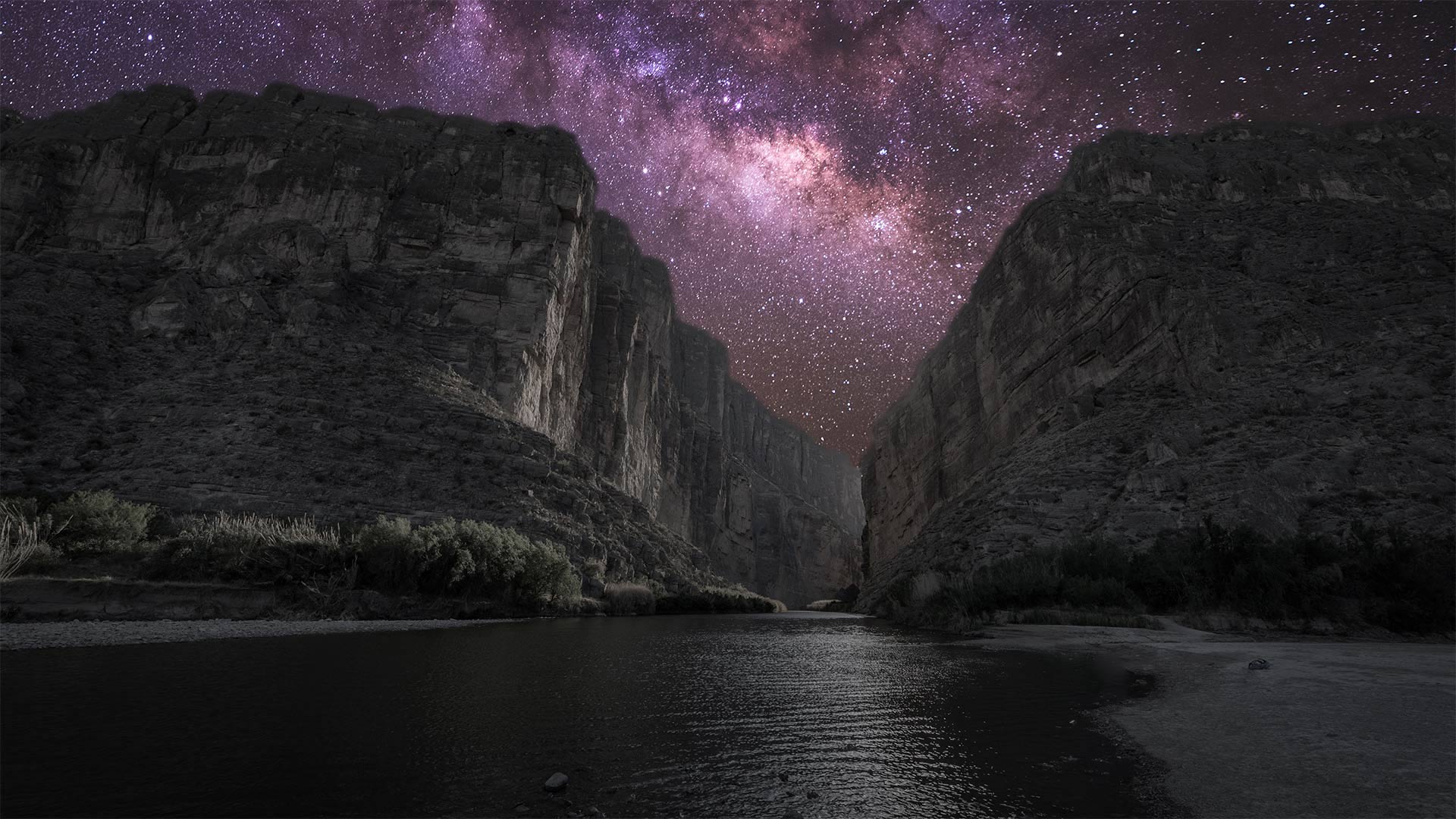
银河下的圣埃伦娜峡谷,德克萨斯州大弯国家公园 Santa Elena Canyon under the Milky Way in Big Bend National Park, Texas (© Stanley Ford/Shutterstock)
Big sky at Big Bend
Seventy-six years ago today, on June 12, 1944, Big Bend officially became a US national park. The park covers more than 800,000 acres in West Texas along the Mexico border. This vast area—big enough to swallow Rhode Island—contains mountain, river, and desert ecosystems, including the largest protected area of the Chihuahuan Desert in the United States. Far removed from any urban centers and the light pollution that comes with them, Big Bend boasts some of the darkest skies you'll find in the lower 48, earning it a designation as an International Dark Sky Park. Even after 76 years, Big Bend still glows.
格里博耶多夫运河和滴血救世主教堂,俄罗斯圣彼得堡 Griboyedov Canal and the Church of the Savior on Spilled Blood in Saint Petersburg, Russia (© Tomas Sereda/Getty Images)
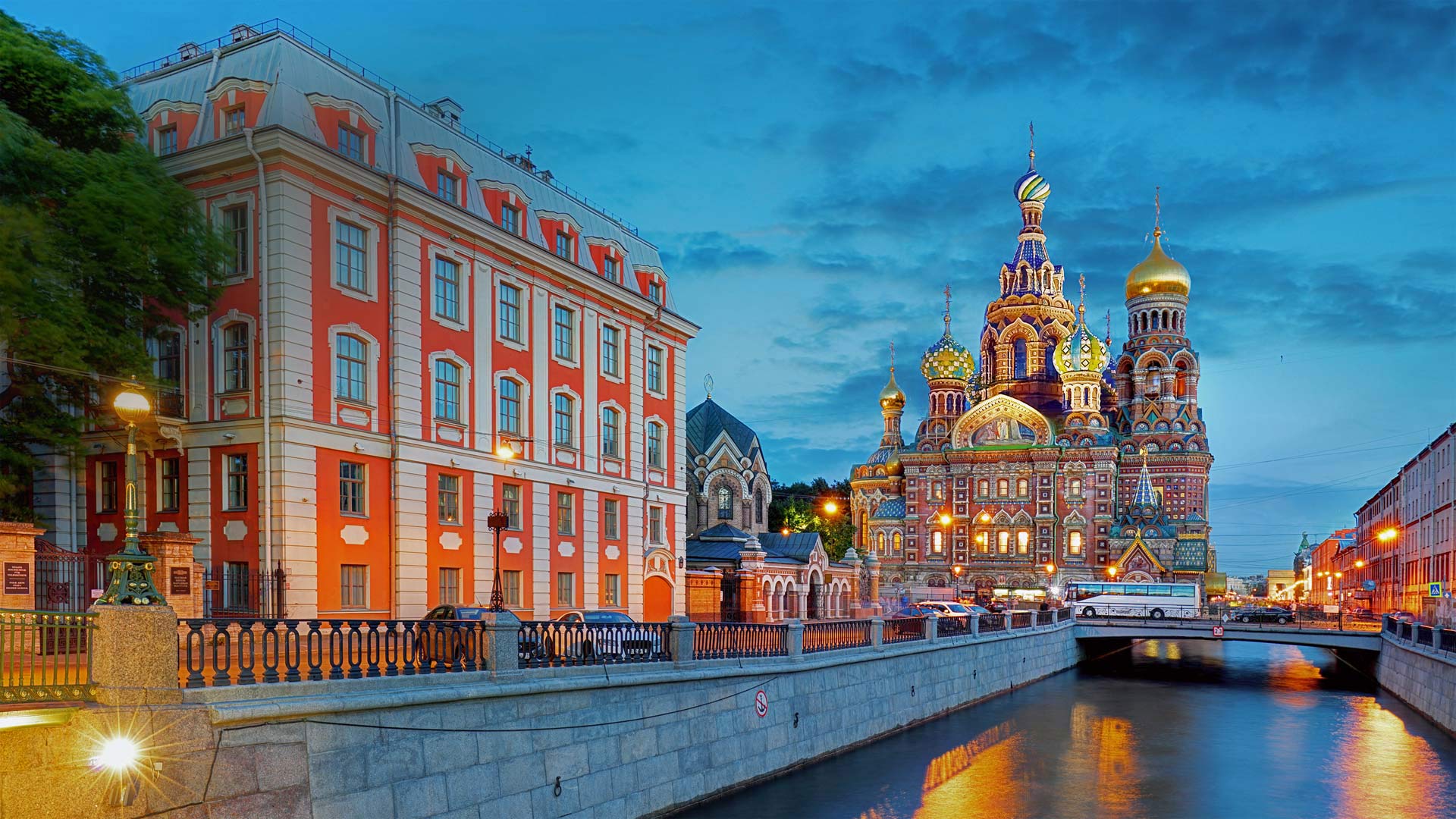
格里博耶多夫运河和滴血救世主教堂,俄罗斯圣彼得堡 Griboyedov Canal and the Church of the Savior on Spilled Blood in Saint Petersburg, Russia (© Tomas Sereda/Getty Images)
A midsummer twilight's dream
The Russian language classifies light and dark shades of blue as separate colors—which comes in especially handy if you venture north to Saint Petersburg in midsummer. The seaport metropolis sits less than 500 miles outside the Arctic Circle, so at the height of summer, the twilit 'blue hour' coveted by photographers lasts virtually all night long as the sun hovers just below the horizon. It's a phenomenon dubbed the 'White Nights' and it usually lasts from mid-June 11 to early July.
This particular view peers past the dark blue ('siniy') waters of the Griboyedov Canal at the dramatically named Church of the Savior on Spilled Blood. Framed against a light blue ('goluboi') sky, the church's colorful exterior is almost as dazzling as the motley mosaics covering the walls inside. The Griboyedov Canal, cutting south and west through a district dense with museums, theaters, and parks, is part of Saint Petersburg's intricate system of man-made waterways that earn the city one of its nicknames: 'Venice of the North.'
以圣保罗大教堂为背景的千禧桥,英国伦敦 London Millennium Bridge with St. Paul's Cathedral in the background, London, England (© Scott Baldock/Getty Images)
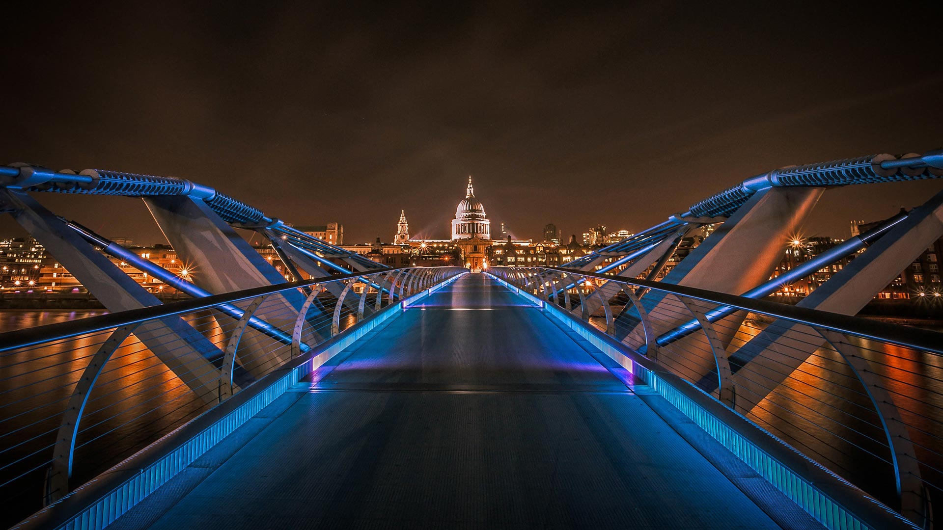
以圣保罗大教堂为背景的千禧桥,英国伦敦 London Millennium Bridge with St. Paul's Cathedral in the background, London, England (© Scott Baldock/Getty Images)
The Millennium at 20
The view you're seeing was first made possible exactly 20 years ago, but a photo from the same spot on June 10, 2000, might've come out a tad blurry. That's because when the London Millennium Bridge opened to flocks of pedestrians on that date, it wobbled so much it was closed after just two days. But the bridge reopened with improvements in 2002, and today it's stable in terms of not only lateral g-force but also photo-op popularity.
Famous for its hodgepodge of bleeding-edge design and preserved historic architecture, the London cityscape is full of anachronistic scenes like this. The bridge and St. Paul's Cathedral, seen a few blocks north across the Thames, were built about 300 years apart (just a fraction of London's nearly 2,000-year history). If we could about-face, the contrast of eras would be even more pronounced: Behind us near the bridge's south end lies a reconstruction of Shakespeare's Globe Theatre neighboring the Tate Modern, an art museum converted from a mid-20th-century power plant.
锯齿原野中的Baron湖,爱达荷州 Baron Lake in the Sawtooth Wilderness in Idaho (© Patrick Brandenburg/Tandem Stills + Motion)
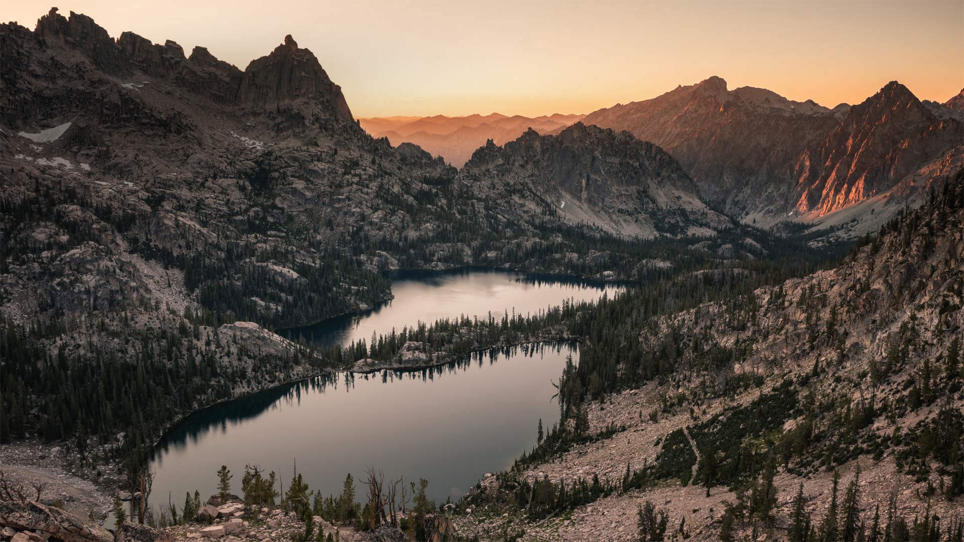
锯齿原野中的Baron湖,爱达荷州 Baron Lake in the Sawtooth Wilderness in Idaho (© Patrick Brandenburg/Tandem Stills + Motion)
Gem-state views
Idaho is called the Gem State for the its abundance of precious and semi-precious gems, but the moniker could also apply to its many lesser-known, yet spectacular natural landmarks–hidden gems like you see on today's homepage. This is Baron Lake in the rugged Sawtooth Wilderness of central Idaho. It's just a snippet of the nearly 5 million acres of designated wilderness that belong to the Gem State. Other highlights include Hells Canyon, the deepest river gorge in North America—at 8,000 feet deep, it surpasses even the Grand Canyon. And in southern Idaho you'll find Shoshone Falls, which towers 45 feet higher than Niagara Falls, earning it the nickname Niagara of the West.
费尔南迪纳岛海岸的加拉帕戈斯海狮,厄瓜多尔科隆群岛 Galápagos sea lion off the shore of Fernandina Island, Galápagos Islands, Ecuador (© Tui De Roy/Minden Pictures)
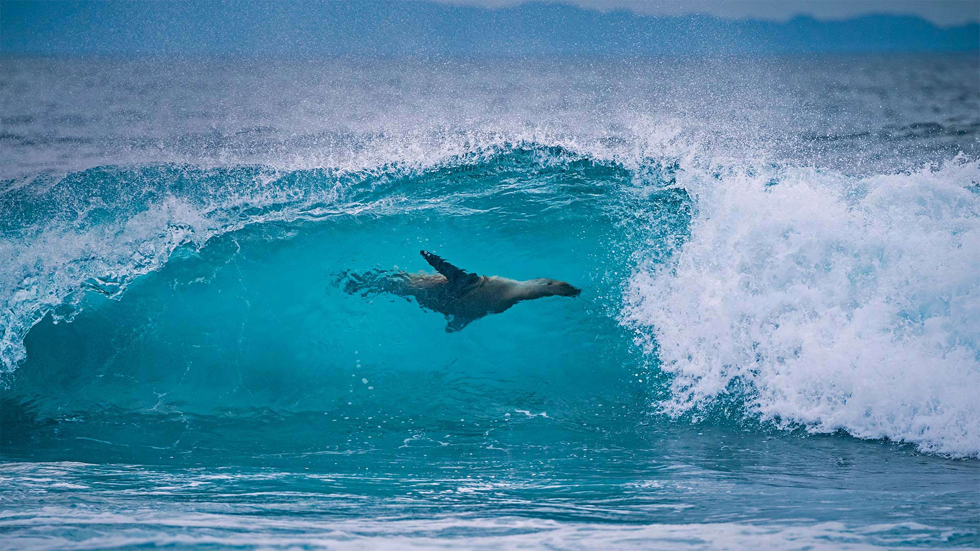
费尔南迪纳岛海岸的加拉帕戈斯海狮,厄瓜多尔科隆群岛 Galápagos sea lion off the shore of Fernandina Island, Galápagos Islands, Ecuador (© Tui De Roy/Minden Pictures)
A day for the oceans
The Galápagos sea lion is found in two places in the world—its namesake locale and the Isla de la Plata just off the coast of Ecuador. They're often spotted playing and surfing in the waves. They're gregarious on land, too, sometimes even grabbing a snooze on a town bench. Although a common and beloved sight in the islands, Galápagos sea lions are endangered, and their numbers are susceptible to changes in ocean temperatures, which that can limit their food supply.
Enter World Oceans Day. Celebrated annually on June 8 and recognized by the UN, the holiday aims to focus global attention on the health of our oceans. This year's theme calls for world leaders to commit to protecting 30% of the seas and 30% of the land by 2030 to help ensure species diversity, like our friendly Galápagos sea lion, and safeguard life as we know it. #BigGoals
La Pertusa教堂,西班牙莱里达 Hermitage of La Pertusa, Lleida province, Spain (© bbsferrari/Getty Images)
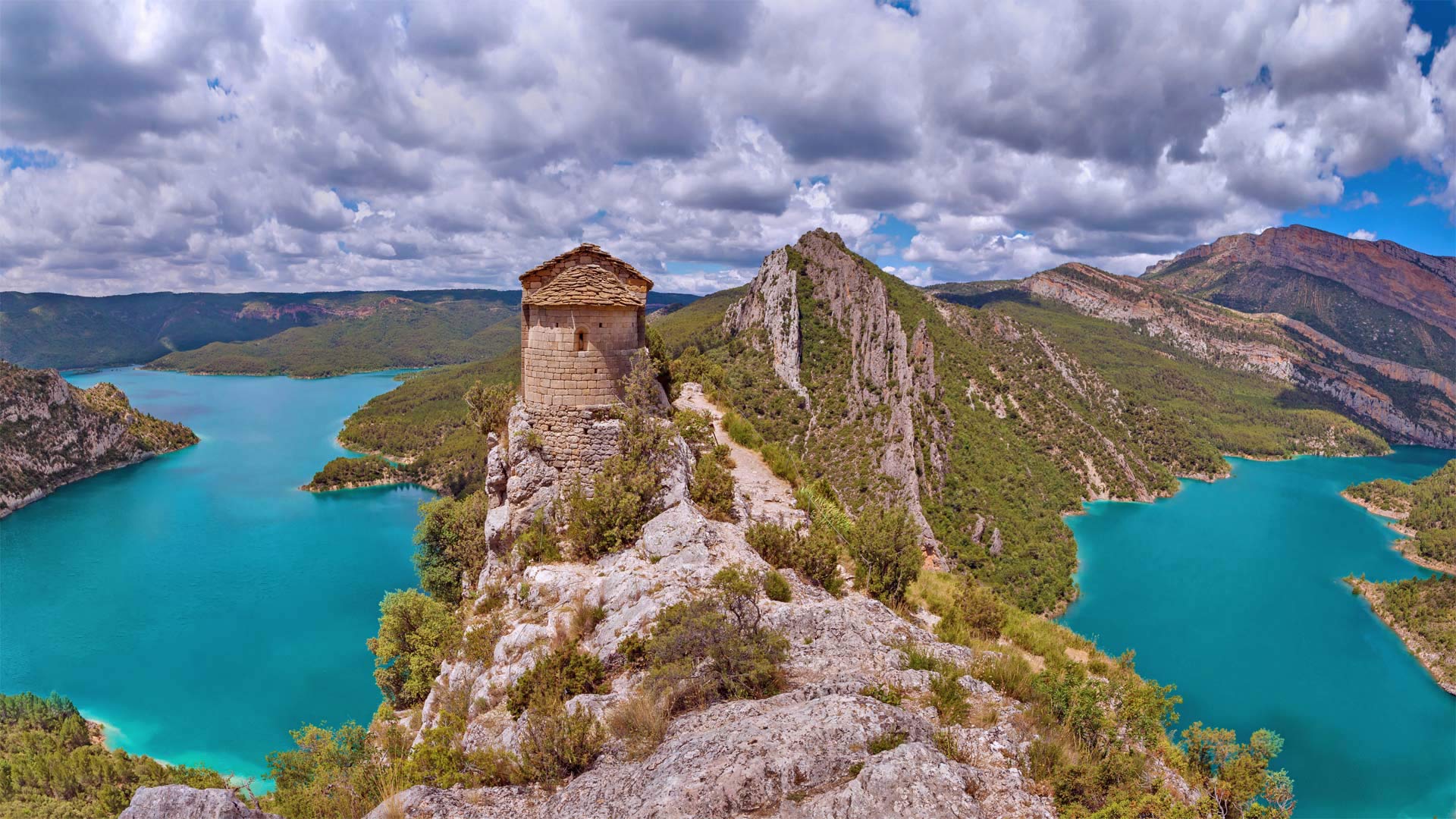
La Pertusa教堂,西班牙莱里达 Hermitage of La Pertusa, Lleida province, Spain (© bbsferrari/Getty Images)
A hermitage with a view
If this vivid landscape has you feeling pulled into the photo, take a deep breath before you look right or left. Or maybe just fix your gaze on the medieval brick ruin ahead—the Hermitage of La Pertusa in northern Catalonia, Spain. Glance sideways and you'll be greeted by sheer vertical drops to the basin of the Canelles Reservoir, across which lies the region of Aragon—historically a powerful kingdom that ruled Catalonia and much of the Mediterranean.
An actual visit to this spot would require traversing a steep, rocky trail to the narrow outcrop that hosts the hermitage, once the chapel of a long-collapsed Romanesque castle. But imagine the reward: a vista of the beauty Catalonia offers beyond busy Barcelona.