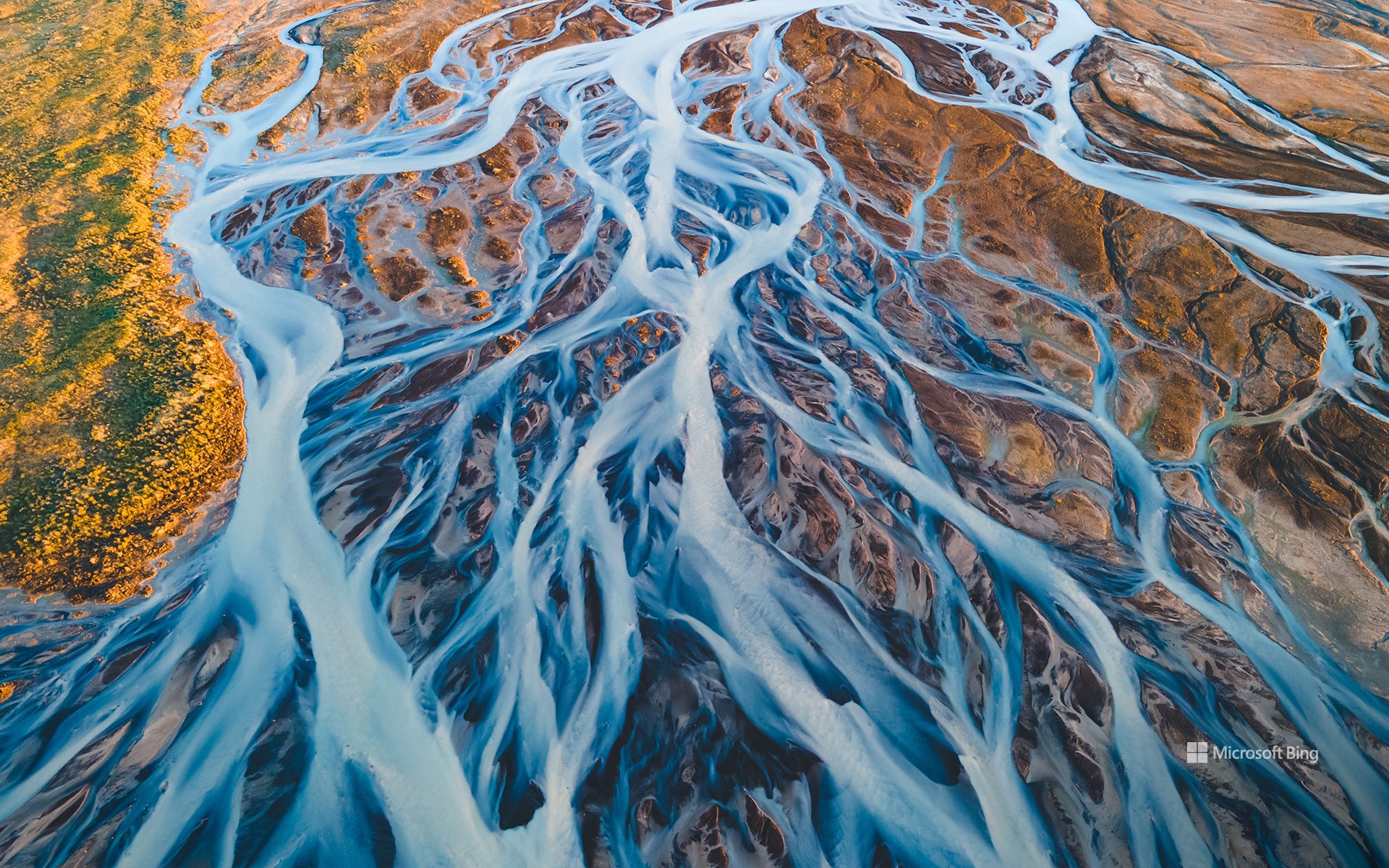
冰岛冰川河流鸟瞰图 Aerial view of glacial rivers in Iceland (© rybarmarekk/Shutterstock)

冰岛冰川河流鸟瞰图 Aerial view of glacial rivers in Iceland (© rybarmarekk/Shutterstock)
来自冰与火之国 From the land of fire and ice
冰川河流,冰岛
“冰与火之国”冰岛的冰川河流在数千年的时间里塑造了冰岛的地貌。今天图片中的河流就是由瓦特纳、朗格和霍夫斯等巨大冰川的融水形成的。瓦特纳冰川是冰岛第一大冰川,覆盖面积超3000平方英里,约占冰岛国土面积10%。冰川融化后,冰川水携带着细小的沉积物,形成了乳白色的辫状河流系统,与火山地形的泥土色调形成鲜明对比。每年春夏季节,河流都会因季节性融水而激增,不断塑造和重塑这片土地。从空中俯瞰,可以看到它们错综复杂的图案,就像一幅幅复杂的艺术品,在地形上交织着向北大西洋延伸。冰岛的水不仅仅是一道美丽的风景,它在可再生能源方面也发挥着重要作用。水流为水电站提供动力,巩固了冰岛作为可持续能源领导者的地位。
Glacial rivers in Iceland
Iceland's glacial rivers have shaped the landscape here in the land of fire and ice over thousands of years. The rivers seen in today's image are formed from the meltwater of vast glaciers like Vatnajökull, Langjökull, and Hofsjökull. Vatnajökull, the largest ice cap in Iceland, covers over 3,000 square miles—approximately 10% of the country's landmass. As the glaciers melt, the water carries fine sediments, creating a braided river system with a milky appearance that contrasts with the earthy tones of the volcanic terrain. Every spring and summer, the rivers swell with seasonal meltwater, continually shaping and reshaping the land. Aerial views reveal their intricate patterns, interwoven across the terrain toward the North Atlantic Ocean. The water also powers hydroelectric power stations, reinforcing Iceland's status as a leader in sustainable energy.
评论已关闭