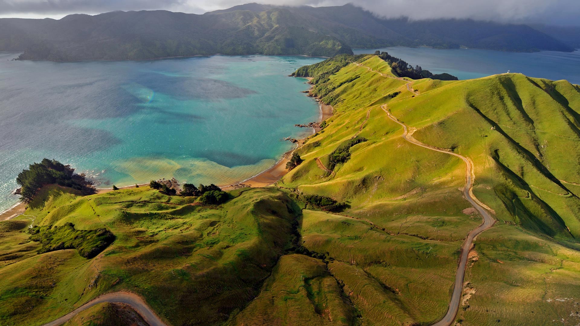
马尔堡峡湾鸟瞰图,新西兰 Aerial view of Marlborough Sounds, New Zealand (© Mathias Ortmann/Getty Images)

马尔堡峡湾鸟瞰图,新西兰 Aerial view of Marlborough Sounds, New Zealand (© Mathias Ortmann/Getty Images)
Land ho in New Zealand 250 years ago
We're looking at Marlborough Sounds, a network of ancient sunken river valleys located at the northern tip of New Zealand's South Island. But it was on the North Island, 250 years ago, that New Zealand was spotted by Captain James Cook from the HMS Endeavour. The main purpose of Cook's voyage to the Pacific was to sail to Tahiti and observe the transit of Venus across the face of the sun. Only after completing this task did Cook unseal the rest of his orders and learn he was to search the South Pacific for signs of a fabled great southern continent, Terra Australis Incognito. This was a hypothetical southern landmass that European Renaissance geographers thought must exist in order to counterbalance the Northern and Southern Hemispheres.
Of course, Cook never found Terra Australis, but with the help of a Tahitian named Tupaia, who had extensive knowledge of Pacific geography, and armed with the previous findings of explorer Abel Tasman from 1642, Cook sailed on to New Zealand. There, he and his crew built upon Tasman's work, becoming the first to circumnavigate and chart New Zealand's North and South Islands.
评论已关闭